
Ground Penetrating Radar (GPR)
What Is Ground Penetrating Radar (GPR)?
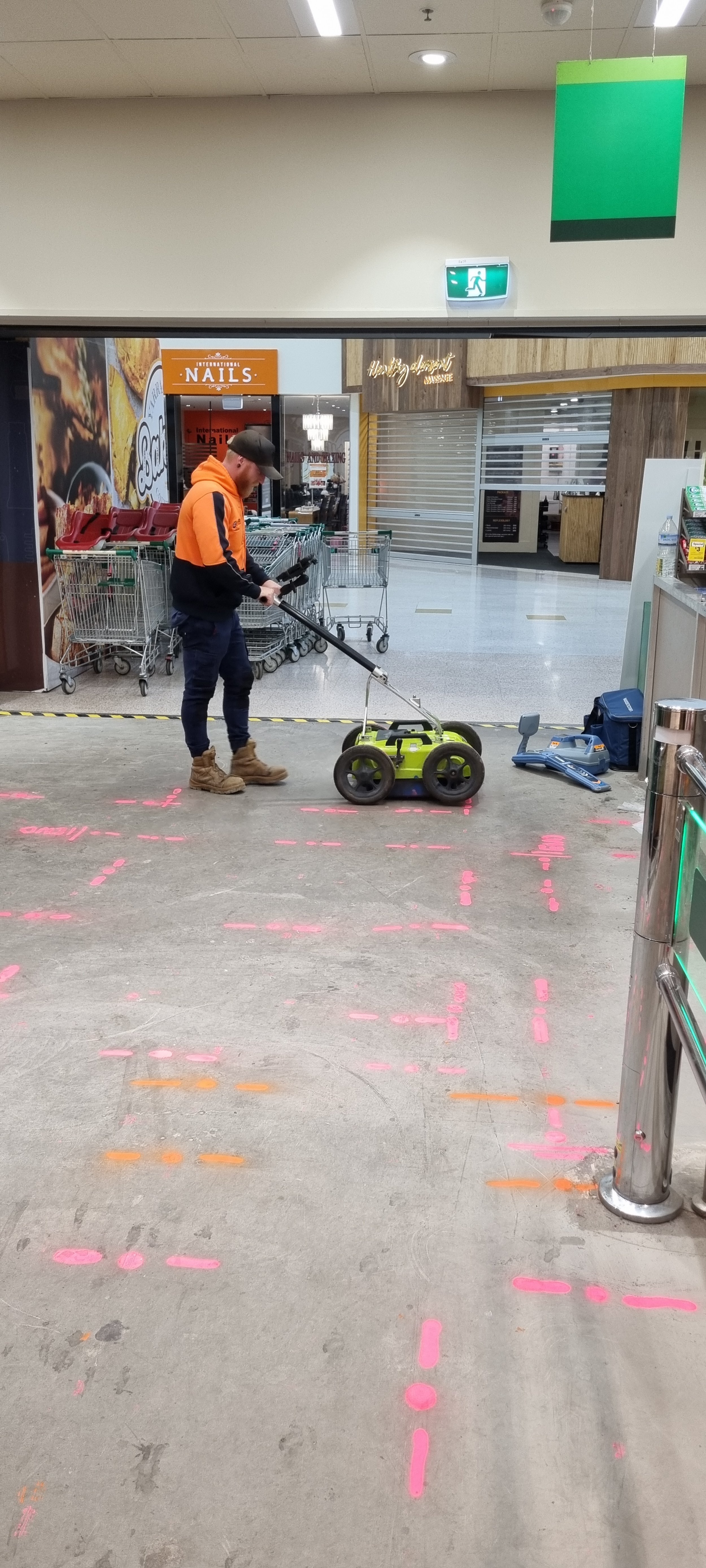
Ground penetrating radar (GPR) should be used in service locating because it enables non-destructive identification of subsurface utilities and structures. Unlike traditional methods such as excavation and drilling, GPR can accurately detect the location and depth of buried utilities and assets without causing damage to them. This saves time and money, while also reducing the risk of accidents or disruptions. Using high frequency radio waves to detect variations in subsurface material properties, this allows for the accurate and effective identification of buried objects, utilities and geological features.
Modern ground penetrating radar units are used in a variety of industries, including archaeology, geology, and engineering, for applications ranging from the location of buried utilities and structures, mapping of geological formations, and assessing pavement conditions.
However, the effectiveness of GPR is dependent on factors such as soil type, moisture content, depth of the target, and may be limited in certain conditions. Overall, GPR locating is a valuable tool in service locating and for BYDA service locators for its efficiency, safety, and precision capabilities.